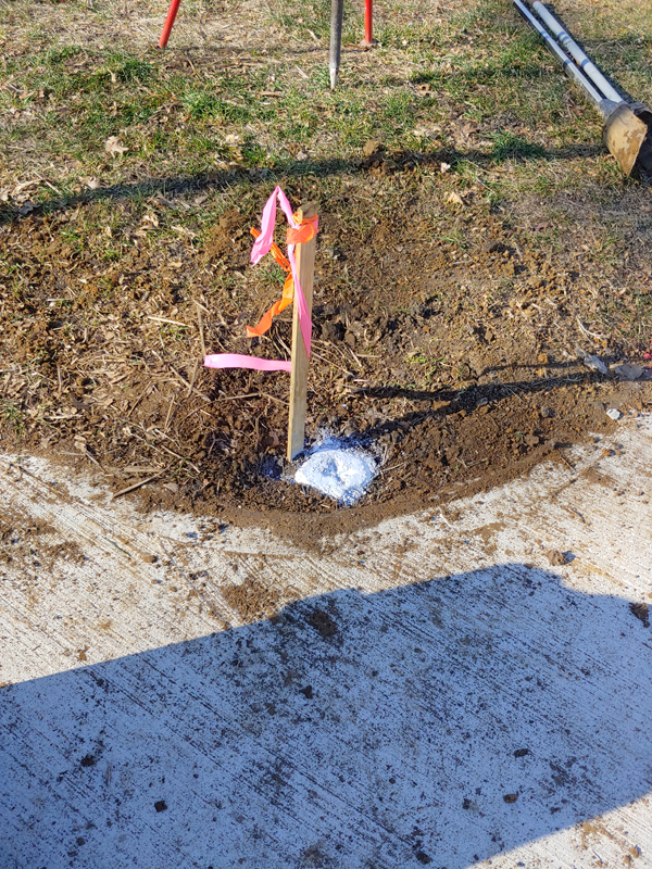
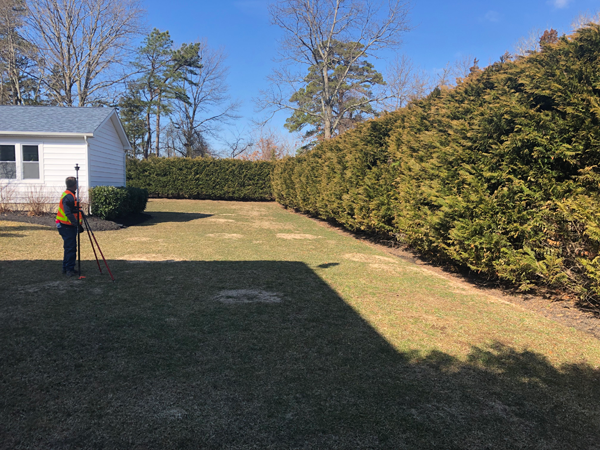
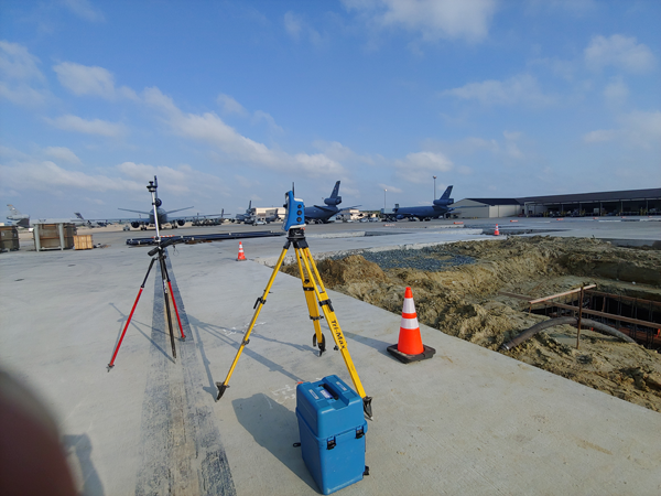
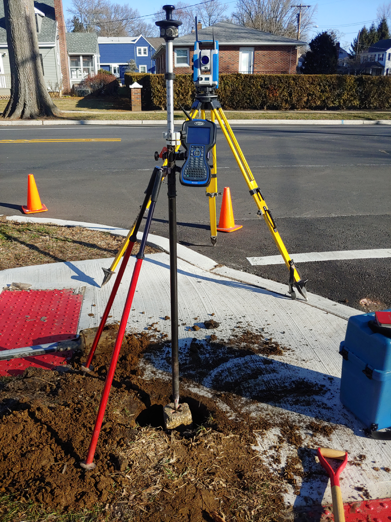
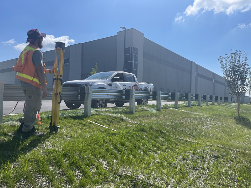
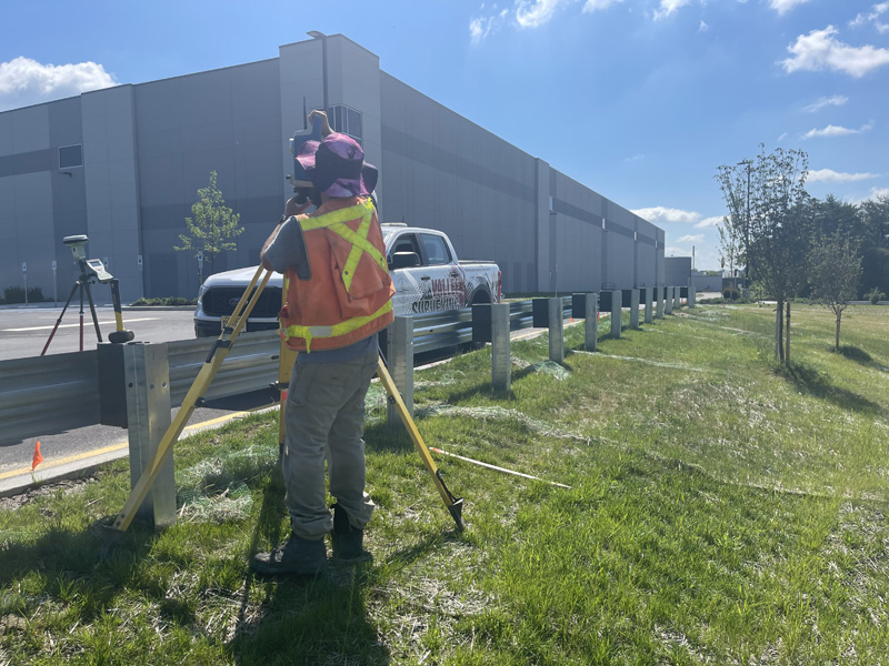
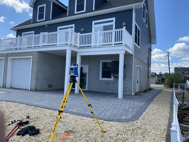
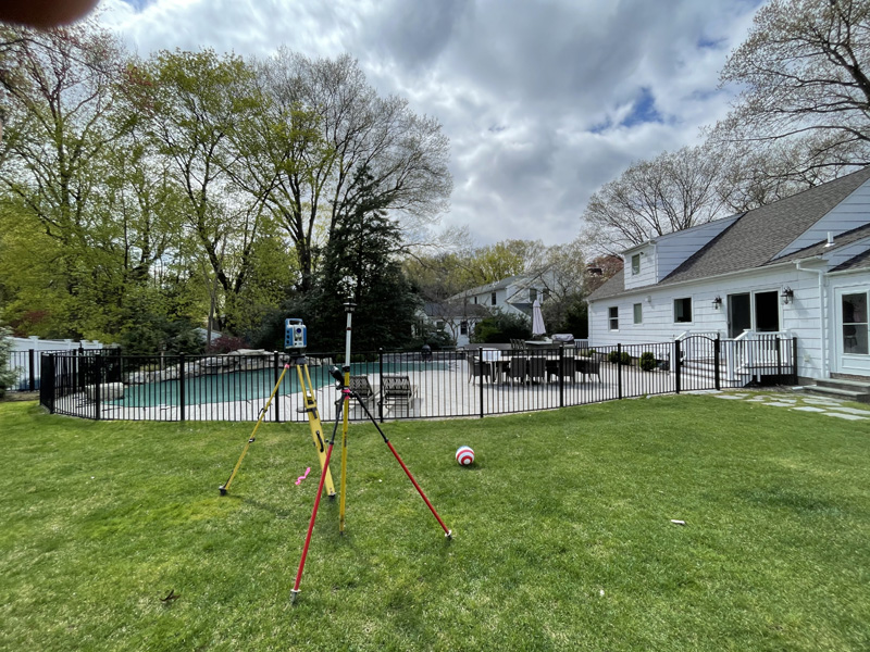
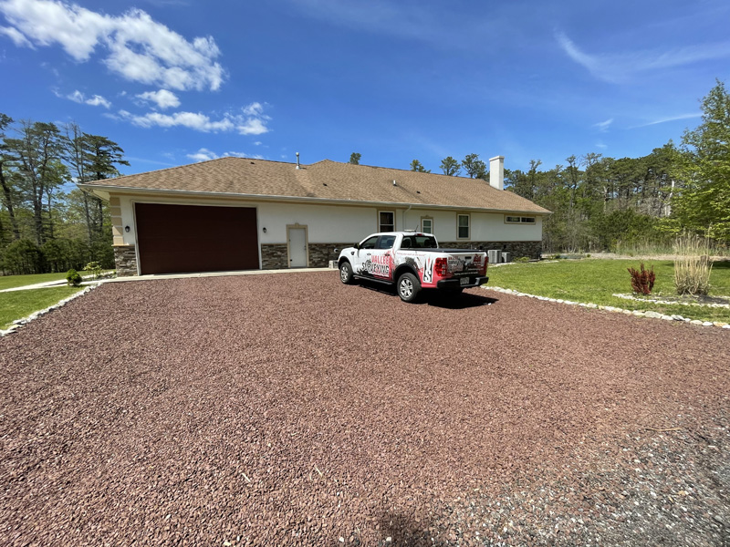
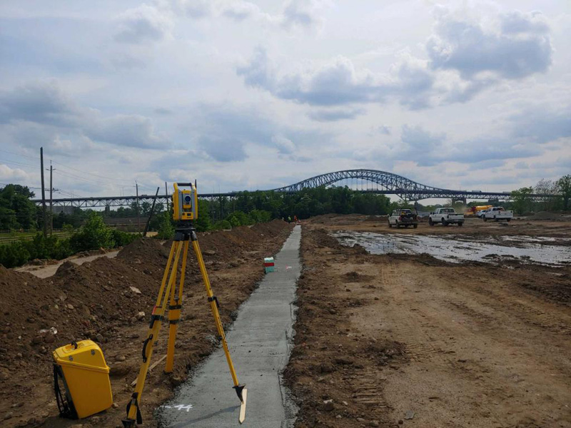
Vallee Surveying provides a great deal of assurance in the quality and practice of Land Surveying. The company utilizes state of the art technology that collects, processes, stores, transmits, and displays information which offers precise accuracy.
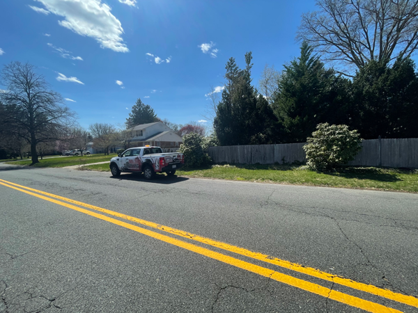
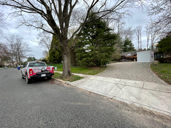
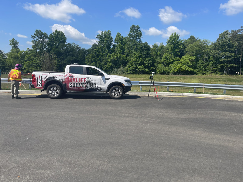
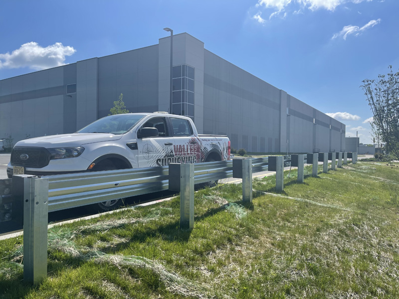
Vallee Surveying prides itself on being able to sustain a wide verity of land surveying deliverables and provides an indispensable service to builders, developers and homeowners throughout New Jersey.
Vallee Surveying is owned and operated by Robert Vallee, P.L.S. Robert is a New Jersey Professional Land Surveyor and a member of the New Jersey Society of Professional Surveyors and the American Congress of Surveying and Mapping.